The scenic drive worth building a day around
Use Mentone and DeSoto as the setup, then let the Little River Canyon Rim Parkway do the heavy lifting.
On this page
The canyon segment
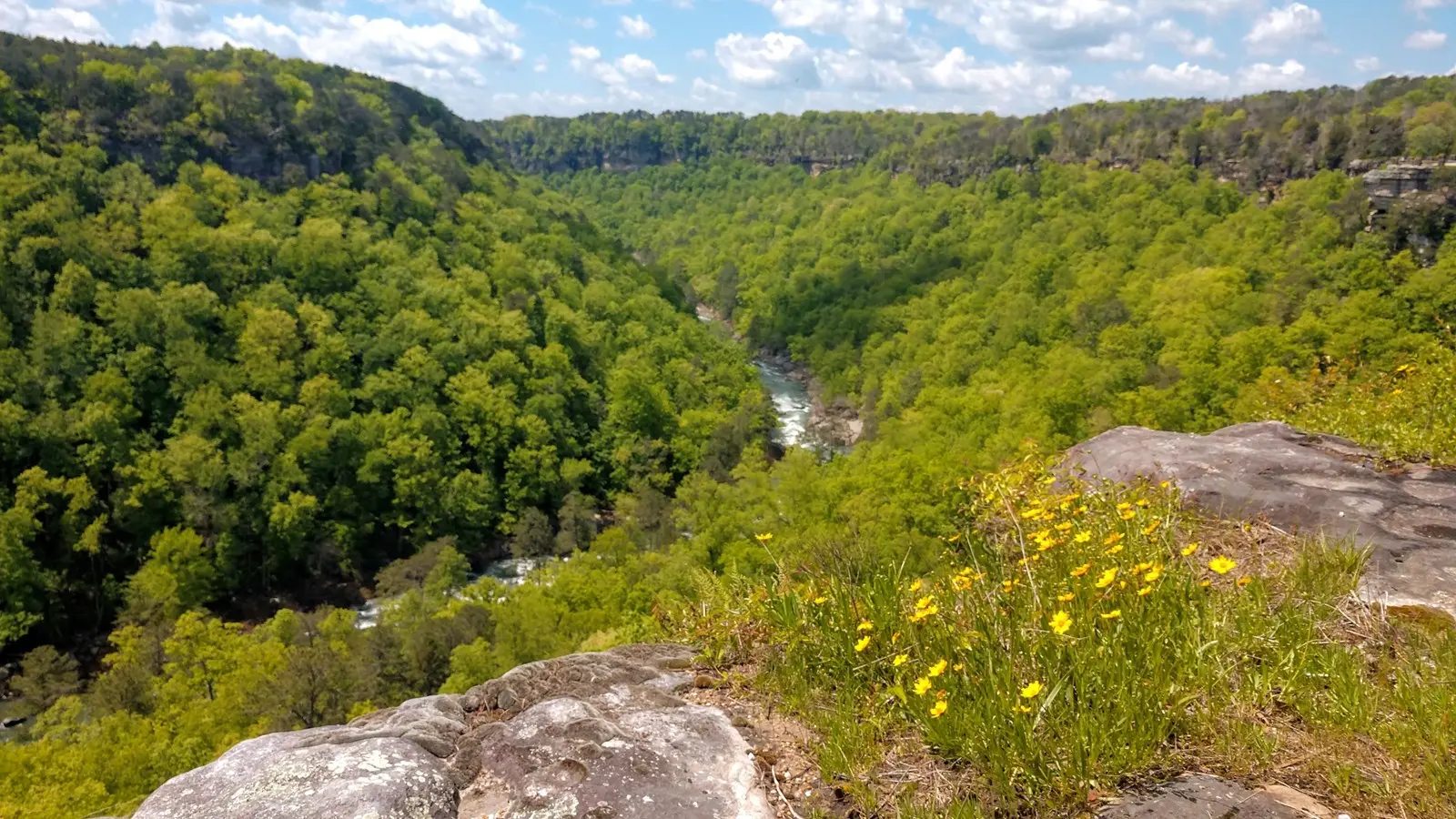
NPS describes the Rim Parkway as an 11-mile drive with eight overlooks. The route is narrow, curvy and not recommended for RVs or trailers.
Do not time it by mileage
Eleven miles can take the better part of a half day if you actually stop, walk out to overlooks and eat lunch. That is the point.
The route that makes sense
- Little River Falls: begin with the river before seeing the canyon it carved.
- Canyon View: take the broad orientation stop early.
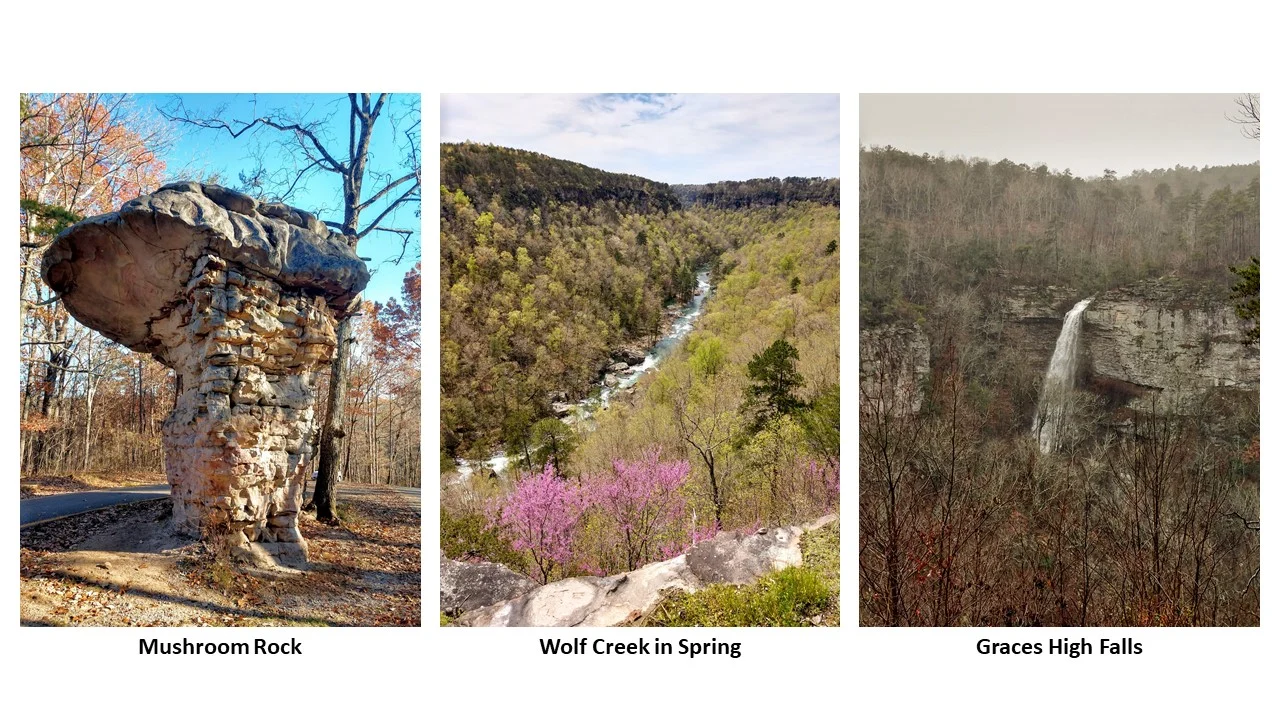
- Wolf Creek or Crow Point: choose one additional rim perspective rather than racing through both.
- Eberhart Point: stop only if the group wants a more committing descent and has the footwear, time and daylight.
- Canyon Mouth: finish low beside the river when seasonal hours and the day-use area fit the plan.
Build in a fallback
Fog, hard rain or a late start can erase the reason for an overlook drive. When visibility is poor, shorten the route to Little River Falls, the Canyon Center and a Mentone meal. Never chase a view by speeding between turnouts or crossing a wet road for a marginal photograph.
Who should choose something else
Travelers prone to motion sickness, anyone towing and families already exhausted from a long drive may enjoy DeSoto’s shorter moves more. The parkway rewards attention; it is not the relaxing option when the driver is tense.
Choose a compact or extended canyon day
| Version | Sequence | Planning allowance |
|---|---|---|
| Compact | Little River Falls, then selected rim overlooks | Roughly two hours at the stops, plus your approach and return |
| Unhurried | Falls, selected overlooks and a picnic | Half a day; stop count depends on interest and visibility |
| Lower river | Canyon Mouth Park as a separately checked destination | Allow for its approach and closing time; do not treat it as a quick add-on |
These are Tony’s planning allowances, not timed route measurements. Use the field map for orientation; its lines connect stops and do not represent a surveyed driving road. Check the navigation route against official NPS directions, especially with a large vehicle.
The last stop should make the return easier
Do not push farther down the canyon merely because the next stop appears close on a screen. At each stop, reassess daylight, visibility and the road home. A reserved Mentone dinner is a constraint to plan backward from. A late departure from a steep lower road is not compensated for by visiting more overlooks.