DeSoto State Park: the deep guide
DeSoto is not one attraction. It is a 3,500-acre mountain park with more than 35 miles of hiking, rain-fed waterfalls, Civilian Conservation Corps history and enough choices to ruin a good day if you try to collect them all.
First, understand the split
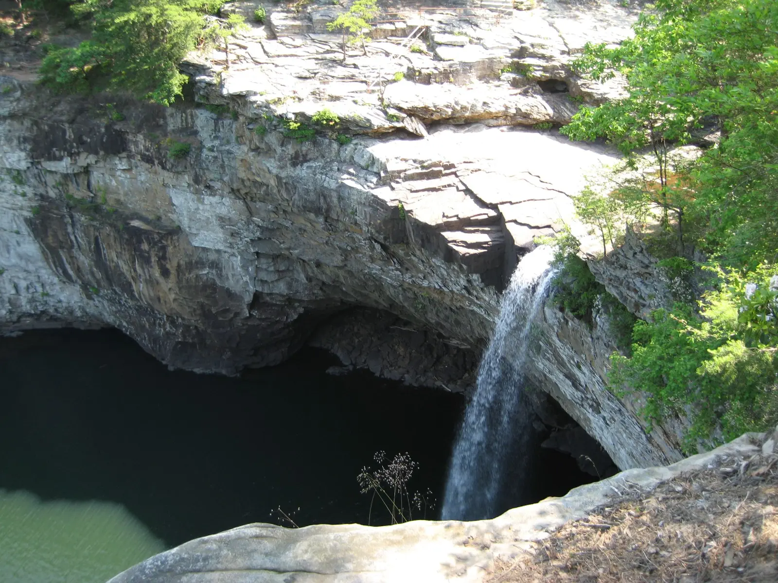
DeSoto Falls is about seven miles from the main park area. It is not beside the lodge, campground or Country Store. That distinction matters: visitors routinely underestimate the drive and then try to squeeze the falls between two unrelated park stops.
The easiest side view is inside the DeSoto Falls picnic area. The overlook trail gives a more frontal view and is moderate. The river trail descends toward the basin and is moderate to strenuous. Closed-toe shoes and water are not optional niceties here.
Choose one trail by payoff
If water is running, the Laurel Creek system gives you Laurel Falls, Lost Falls and smaller cascades—but Lost Falls earns its name when the creek is dry. For a less waterfall-dependent walk, choose a forest, bluff or river segment and let the landscape carry the outing. DeSoto also maintains an ADA-accessible boardwalk, while its broader trail system includes more than 35 hiking miles and over 11 miles of mountain biking.
What the park history adds
The lodge, cabins, roads and many park structures grew out of Civilian Conservation Corps work during the 1930s. The CCC museum and interpretive programs make the park more than a trailhead. On a wet or slower day, that history can be the difference between a washed-out plan and a worthwhile visit.
Families, dogs and weather
Leashed dogs are permitted on park trails. Families should judge a route by surface and elevation, not mileage alone. After heavy rain, expect slick rock and stronger water; after a dry spell, expect weaker seasonal falls. Check the park’s current notices before leaving Mentone.