Little River Canyon for first-timers
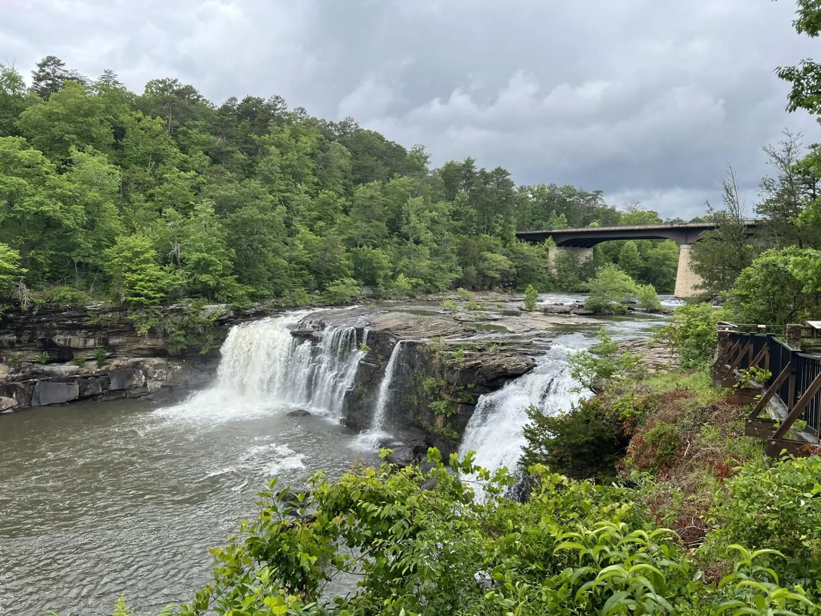
This is the grand-scale part of the trip. The river runs along the top of Lookout Mountain, then cuts one of the Southeast’s deepest canyon systems. Give it more than one waterfall photograph.
On this page
Drive it in one direction
The developed Rim Parkway follows 11 miles of Highway 176 and reaches eight overlooks. The road is narrow, curving and shared with cyclists and wildlife. Start at Little River Falls, then move overlook by overlook toward Canyon Mouth Park. That keeps the geography readable and avoids backtracking.
Do not judge the drive by mileage. Eleven miles can take half a day once you stop, walk out, wait for a view and let the canyon register. Overlooks are daylight-only, and the small parking areas are generally limited to 30 minutes.
Choose the right stops
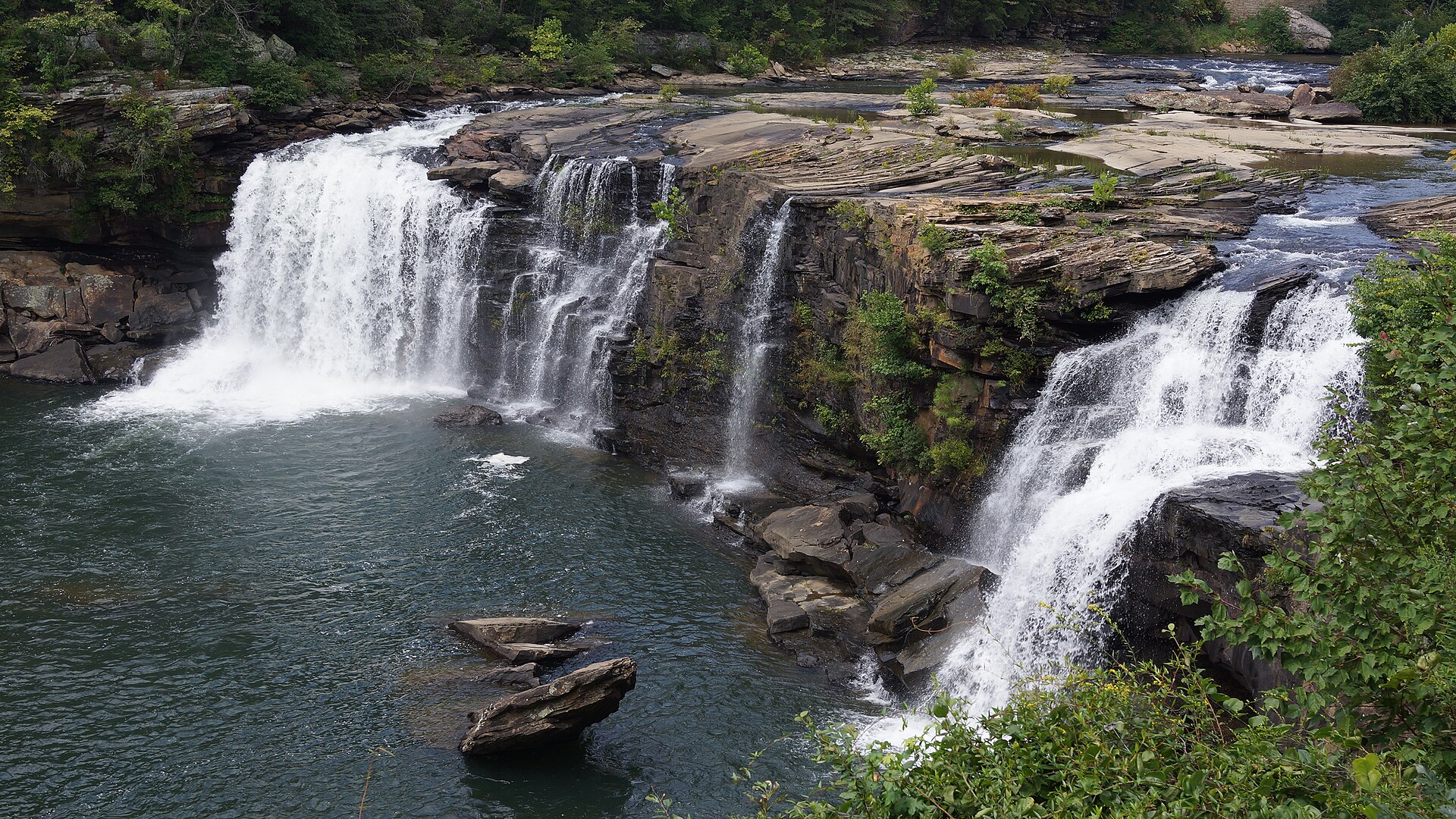
Little River Falls is the logical beginning: a large parking area, restrooms, picnic tables and the accessible boardwalk. Mushroom Rock is a quick geological stop. The overlooks deliver the scale. Canyon Mouth Park is where the trip changes from looking into the canyon to meeting the river at its lower end.
Fees and operating hours
The scenic drive, overlooks and Little River Falls area have no entrance fee. Canyon Mouth Park charges $15 per private vehicle and uses seasonal closing times. The Little River Canyon Center is generally open Tuesday through Sunday, 10 a.m.–4 p.m. Central; check the current NPS page because schedules and closures change.
Water can be beautiful and dangerous in the same hour
Summer and fall often expose sandstone and leave quieter pools. Winter and spring rain can turn the falls and river powerful very quickly. Stay back from wet rock and cliff edges. Do not use an old photograph or yesterday’s gauge reading as proof of today’s conditions after a downpour.
Accessibility and family pacing
The boardwalk at Little River Falls provides a real view, not a consolation stop. For families, combine it with overlooks, Mushroom Rock and a picnic. Beaver Pond Trail can add a gentler nature walk. Canyon descents belong to a different plan, with appropriate footwear, time and weather.
Choose the version that fits the group
| Available day | Keep | Leave out |
|---|---|---|
| About two hours | Little River Falls and a small selection of rim overlooks. | Canyon Mouth Park and any canyon descent. |
| A half day | The falls, deliberate rim stops and a picnic. | A demand to stop at all eight overlooks. |
| A river picnic is the priority | Canyon Mouth Park as its own destination via the official approach. | The assumption that it is a quick extension for every vehicle. |
| Fog, hard rain or fading light | The Canyon Center when open, or a shorter mountain alternative. | A full rim circuit that depends on distant views. |
These are planning allowances, not drive-time guarantees. The full experience includes stopping, walking, parking and returning to the mountain base.
The lower-canyon extension needs a separate decision
The NPS advises against RVs and trailers on the Rim Parkway and prohibits them on the continuation toward Canyon Mouth Park. The lower roads have very steep grades and sharp turns. For a large vehicle, use the official destination directions rather than letting a mapping app choose a scenic shortcut. Read the NPS vehicle guidance.
Canyon Mouth Park’s current NPS page lists a $15 day-use vehicle fee and seasonal closing hours: 6 p.m. in fall and spring, 7 p.m. in summer, and 5 p.m. in winter. It is a gated day-use area. Confirm the posted closing time on arrival and leave enough margin to exit. Check current fees, passes and hours. Information reviewed October 1, 2026.
A short trail can still be the wrong trail
The NPS classifies the Lower Two-Mile and Eberhart descents as steep and arduous. Little Falls also requires a substantial stair descent. Those routes belong to an intentional hiking plan, not a spontaneous add-on for a tired family. By contrast, the Canyon Center’s Path to Learning is described as an easy half-mile loop. Ask staff about surfaces and your group’s needs; “easy” is a trail rating, not a step-free certification. Compare the official trails.
Read the Cherokee homeland feature before the drive, and connect the public landscape to DeSoto’s CCC history. Those layers deepen the day without requiring another scenic stop.
Pack for the day rather than for a photograph
Carry water, lunch or substantial snacks, a layer, traction and downloaded directions. The developed overlooks make the landscape available without entering the river. Do not turn a waterfall viewing plan into a swimming plan because the water looks calm; access, flow and rescue consequences require a different decision.
Use the Center as an interpretation stop
The Canyon Center can help visitors understand what they are looking at before driving. NPS currently lists Tuesday–Sunday 10–4 Central and no admission charge. This differs from some older Saturday-only listings. Recheck the official operating page for changes.
For a child, choose one observation: where the river sits on the plateau, how the walls change along the rim, or why the same falls look different after rain. For an adult, pair the landscape with the homeland feature rather than treating history as scenery.